
Thermal Mapping for Solar Inspections
Turn drone thermal imagery into an AI-generated thermal orthomosaic digital twin of your solar park. Use Drospect to review GPS-aligned results and prioritize follow-up actions with confidence.
Book a DemoAI-Generated Thermal Orthomosaic Digital Twin
Drospect acts as solar thermal orthomosaic software that converts raw flight data into a single, geo-referenced thermal layer. Your georeferenced thermal digital twin supports module-level review so teams can pinpoint exact panels and run precise, repeatable performance analysis. This thermal orthomosaic creates a consistent site-wide view, helping teams compare zones, identify temperature anomalies, and report findings without reviewing thousands of individual images.
Site-wide thermal orthomosaic output (digital twin view)
GPS-mapped inspection coverage for repeatable checks
Clear temperature visualization for fast review
Export-ready deliverables for reporting and handover
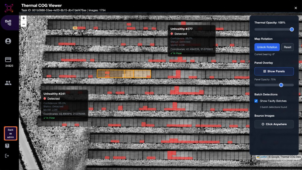
Thermal Mapping Built for Solar Teams
Thermal mapping for solar inspections creates value when teams can review results fast and move straight to action. Drospect combines thermal drone mapping for solar with a structured workflow and a thermal orthomosaic view, so anomalies are easy to interpret, locate, and prioritize.
Review temperature anomalies in context across strings, blocks, and zones
Prioritize follow-up inspections by severity and GPS location
Repeat inspections consistently using geo-referenced orthomosaic outputs
Support solar digital twin software workflows with a site-wide thermal layer for reporting and handover
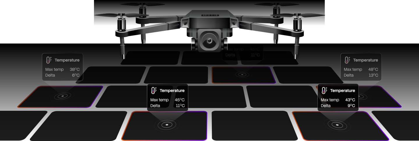
See Drospect in Action
Schedule a demo to explore AI-powered solar inspection at MW scale.
Frequently Asked Questions
What is thermal mapping for solar inspections?
What is a thermal orthomosaic, and why is it useful?
Is Drospect solar thermal orthomosaic software or a reporting tool?
Can thermal mapping help us compare inspections over time?
How does this support drone solar panel inspection programs?